Introduction
As the world grapples with the increasing effects of climate change and natural disasters, innovative technological solutions are becoming imperative for effective monitoring and management of environmental threats. In this context, Mexico is taking significant strides by planning to launch a cutting-edge satellite in 2025 dedicated to volcanic monitoring. This ambitious project not only represents a leap forward in scientific technology but also aims to enhance public safety and provide crucial data for researchers and authorities. This article delves into the details of Mexico’s satellite initiative, its potential impacts on volcanic monitoring, and the broader implications for disaster management in the region.
The Need for Enhanced Volcanic Monitoring
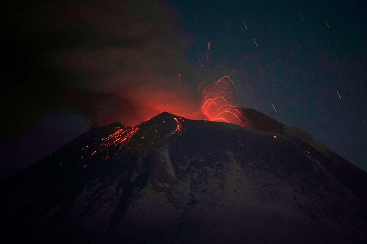
Mexico is home to several active volcanoes, including the renowned Popocatépetl and Colima, which pose risks to nearby populations and infrastructure. Volcanic eruptions can lead to catastrophic consequences, including loss of life, property destruction, and significant economic disruption. According to the National Center for Disaster Prevention (CENAPRED), Mexico has experienced numerous eruptions that have impacted air travel, agriculture, and health. The need for real-time monitoring of volcanic activity has never been more pressing.
Current Monitoring Practices
Currently, Mexico employs a combination of ground-based monitoring systems, including seismographs, gas analysis, and satellite imagery, to track volcanic activity. However, these systems have limitations, particularly in remote areas where access can be challenging. The introduction of a dedicated satellite is anticipated to overcome these challenges and provide comprehensive data on volcanic behavior.
Details of the Satellite Initiative
The satellite, which is yet to be named, is being developed in collaboration with international space agencies and research institutions. It will utilize advanced technology such as synthetic aperture radar (SAR), thermal imaging, and multispectral sensors to monitor changes in volcanic landscapes, gas emissions, and thermal activity.
Key Features of the Satellite
- Synthetic Aperture Radar (SAR): This technology will allow for high-resolution imaging of the Earth’s surface, enabling scientists to detect ground deformation associated with volcanic activity.
- Thermal Imaging: The satellite will monitor heat emissions from volcanoes, providing critical data on potential eruptions.
- Multispectral Sensors: These sensors will analyze various wavelengths of light to assess vegetation health and ash dispersion, critical for understanding the environmental impact of eruptions.
Expected Launch Timeline
The satellite is slated for launch in 2025, following a robust development and testing phase. The Mexican government, alongside its international partners, is committed to ensuring that the satellite meets all operational and safety standards.
Potential Impacts on Volcanic Monitoring
The launch of this satellite is expected to revolutionize volcanic monitoring in Mexico and the broader region. Here are several anticipated impacts:
Improved Early Warning Systems
One of the primary benefits of the satellite will be the enhancement of early warning systems. With real-time data on volcanic activity, authorities will be better equipped to issue timely alerts to communities at risk. This capability could significantly reduce casualties and property damage during an eruption.
Enhanced Data Collection for Research
The satellite will provide a wealth of data that can contribute to scientific research on volcanology. Researchers will have access to unprecedented levels of information regarding volcanic behavior, which can improve models of eruption forecasting and risk assessment.
Cross-Border Collaboration
Given the interconnected nature of geological processes, this satellite initiative opens avenues for collaboration with neighboring countries, particularly those in the Central American region. Sharing data and insights can lead to collective advancements in volcanic monitoring and disaster preparedness.
Broader Implications for Disaster Management
The implications of Mexico’s satellite initiative extend beyond volcanic monitoring. It represents a paradigm shift in how countries can leverage technology for disaster risk reduction and management. Here are some broader implications:
Integration with Other Environmental Monitoring Systems
The technology developed for this satellite can potentially be adapted for monitoring other environmental phenomena, such as earthquakes, floods, and droughts. This integration could lead to a comprehensive environmental monitoring network that enhances overall disaster resilience.
Investment in STEM Education and Research
The satellite project is likely to spur increased investment in STEM (science, technology, engineering, and mathematics) education in Mexico. As the country develops its space capabilities, there will be a growing demand for skilled professionals in these fields, fostering a new generation of scientists and engineers.
Global Leadership in Space Technology
Mexico’s commitment to this satellite initiative positions it as a leader in the realm of space technology focused on environmental monitoring. By investing in advanced satellite systems, Mexico can contribute to global efforts in understanding and mitigating the impacts of natural disasters.
Conclusion
Mexico’s ambitious plan to launch a satellite dedicated to volcanic monitoring by 2025 marks a significant advancement in the country’s disaster management capabilities. With the potential to enhance safety measures, improve data collection for scientific research, and foster international collaboration, this initiative represents a proactive approach to environmental challenges. As the world increasingly faces the realities of climate change and natural disasters, Mexico’s innovative efforts could serve as a model for other nations seeking to bolster their resilience against such threats. The successful implementation of this project will not only safeguard lives but also pave the way for a more informed and scientific approach to understanding our planet’s dynamic systems.
See more Future Tech Daily